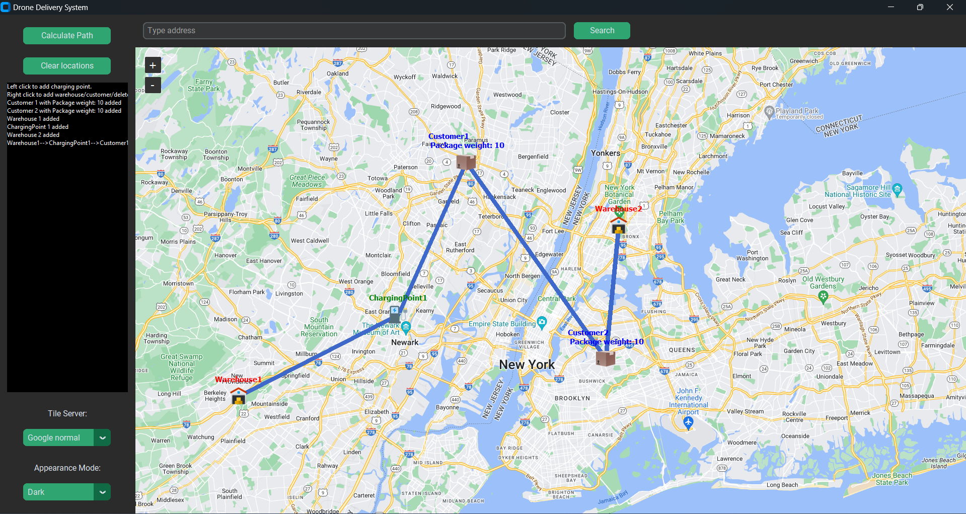
Project is implemented using Python, Tkinter and TkinterMapView and several other open source projects. Thank you for creating software and making it open source. So here's our open sourced Drone Delivery Systems project.
Drone Delivery Systems git
Install project requirements using pip install -r requirements.txt
Virtual Environment
Install virtualenv -pip install virtualenvCreate environment -
virtualenv venvactivation:
Windows:
venv\Scripts\activateLinux:
source venv/bin/activateInstall requirements using
pip install -r requirements.txtRun map.py file using
python map.pyUsage
- Right click on map to select different options available
- Left click to add charging points
- Click on Calculate Path to identify route and give starting warehouse location in popup window.
- Clear locations will clear all the added locations
- Change tile server for different map views
- Search for address in the top search bar
Attributions:
- tkintermapview (https://github.com/TomSchimansky/TkinterMapView)
- geopy (https://github.com/geopy/geopy)
- numpy (https://github.com/numpy/numpy)
- python_tsp (https://github.com/fillipe-gsm/python-tsp)
